Mount Batur Sunrise Hike and Natural Hot Spring Option
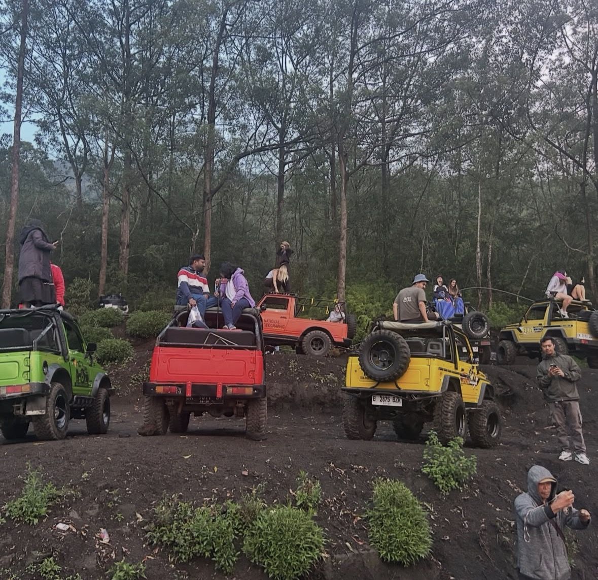
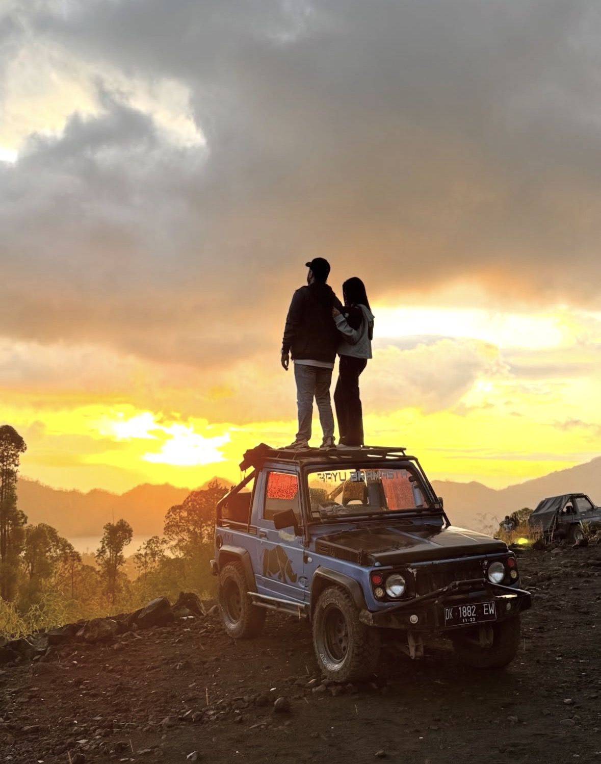
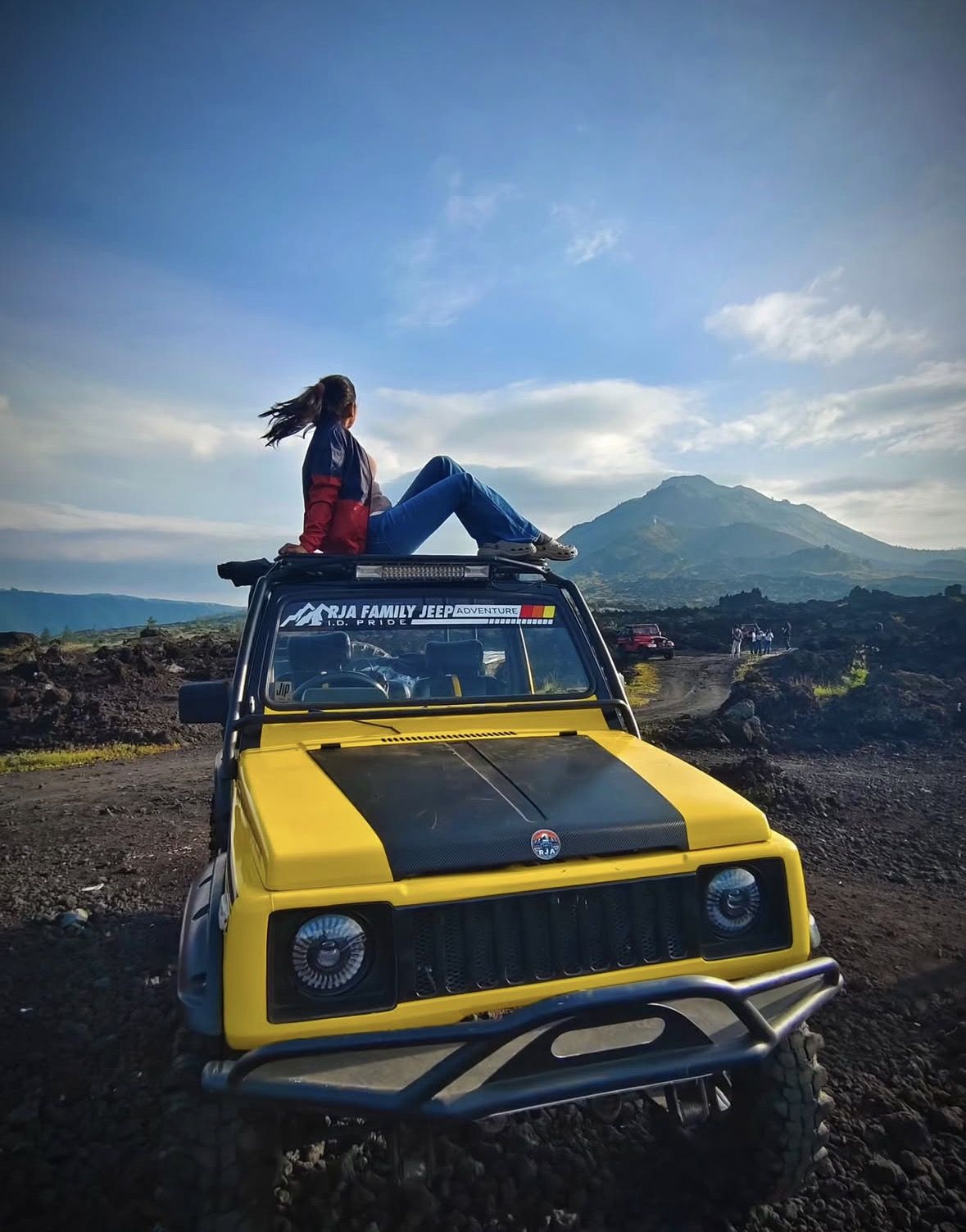
Mount Batur Sunrise Jeep Tour
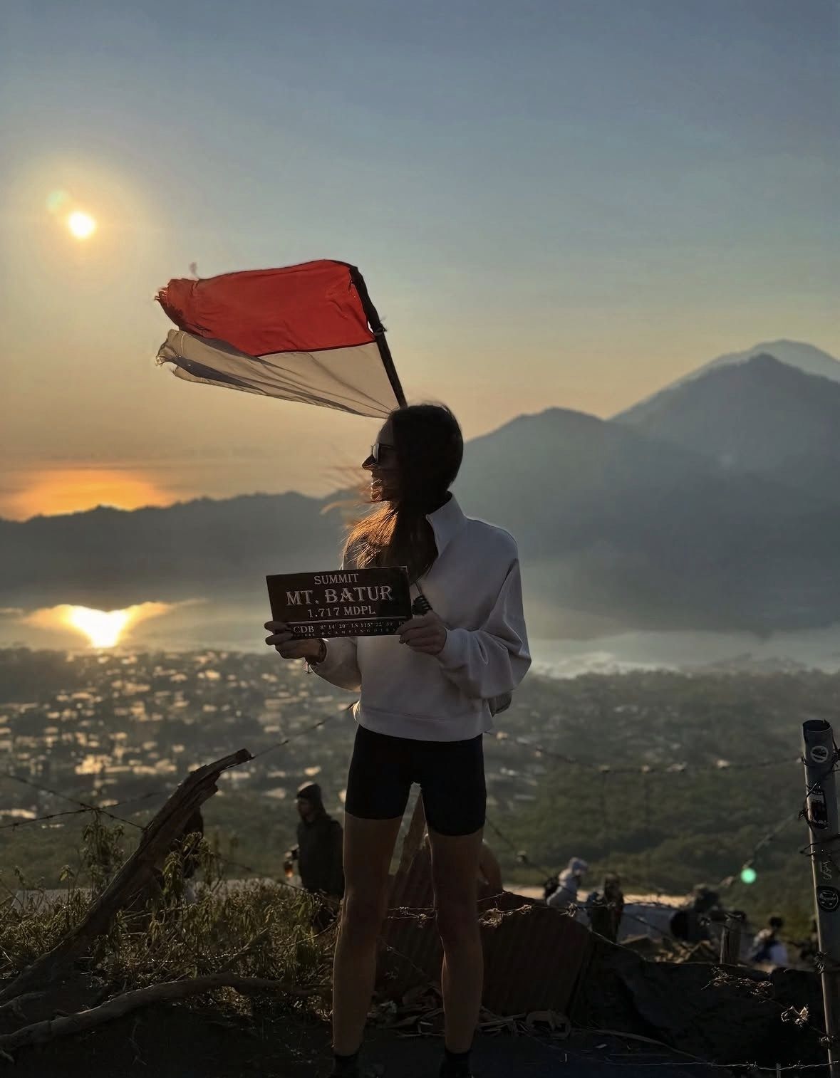
Mount Batur Sunrise Trekking - Guided Hike with Breakfast on Top
Mount Batur Sunrise Jeep Tour with Optional Activities
Mount Batur Sunrise Trekking
Batur Hike : Mount batur Sunrise Hike & Natural Hotspring
Mount Batur Sunrise Jeep Private Tour
Mount Batur Sunrise Hike with Optional Hot Spring
Private Mount Batur Sunrise Trekking Tour
Sunrise Mount Batur Guided Hike with Breakfast
Mount Batur Sunrise Trekking Private All Inclusive
Mount Batur Sunrise Guided Hike and Natural Hot Spring
Mount Batur Sunrise Hike – Local Guide & Hot Spring Experience
Mount Batur Sunrise Hike and Hidden Waterfall
Mount Batur Sunrise Trekking and Rice Terrace Adventure
Mount Batur Sunrise Trekking Private Guide
Mount Batur Sunrise Trekking Guide
Mt Batur Sunrise, Breakfast & Natural Hot Springs
Private Tour Mount Batur Sunrise Jeep
Mount Batur Sunrise Jeep & Black Lava
View All Tours →